Jim Henderson’s complete downloadable
2008 Ph.D. groundwater disertation:
Groundwater Assessment on Small Islands using Geophysical
& other Geoscience Methods to Assist in
Water Resource Management and Planning
Downloadable presentation in portable document format
Notes for the individual slides
Truths
and Misconceptions
about Pender Islands Groundwater:
Planning for the
Future
Dr. Jim Henderson
MEDes,
PhD, P.Geoph, FGC, FEC(H)
Presented October 10, 2015
Pender
Island Community Hall
Is
this your well? How do we protect for today
and conserve for tomorrow
the groundwater re-charge of our wells for quality & quantity?
Dr. Jim Henderson conducted research on groundwater management on North and South Pender Islands as part of both his Masters of Environmental Design and his PhD. He is a Fellow of the Geoscientists of Canada as well as an Honorary Fellow of the Engineers of Canada. He is a registered professional geophysicist in both Alberta and the Northwest Territories with four decades of experience. His recent work has centred around risk management from a water resource perspective. He was invited by the Expert Review Panel to assess the geophysical data acquired subsequent to the dike failure at the Mount Polley mine site in B.C..
Dr. Henderson: “The same issues exist on all of the Gulf Islands ... it is a mixture of amount of rain, amount of development, lack of conservation, etc.”.
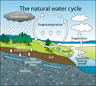
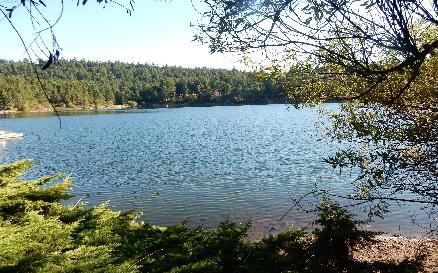
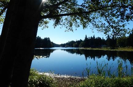
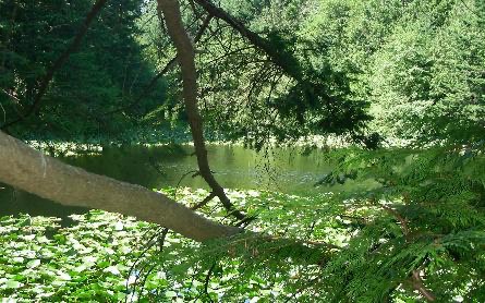
Never in recent history have we seen such perils on the limitation of groundwater & fresh water bodies. We need to learn how to take steps that must be adhered to for any type of land use, including but not limited to density increase, and recognize the urgent need for protection of groundwater re-charge watershed areas for the benefit of all species.
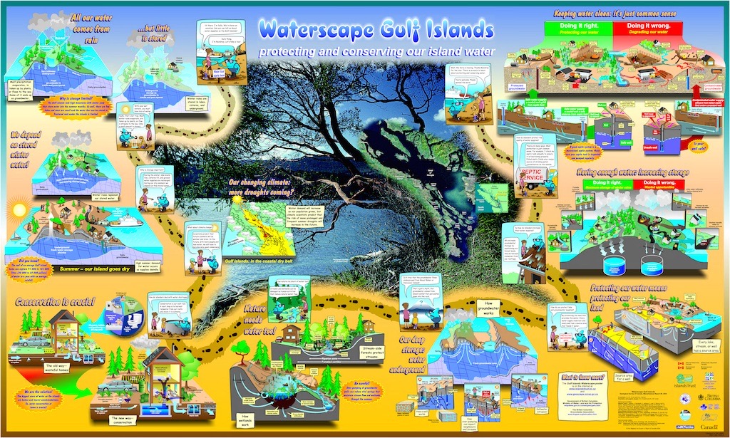
This presentation provided an overview of water supply for the Islands Trust area, in particular both North and South Pender Island, including the limitations that exist on the water supply-side. This will be followed by a discussion of current water demand and what can be done to reduce demand both now and in the future. An alternative approach was presented for managing water issues on the Penders.
Jim shared his concern that supply on the Penders is limited to unpredictable rainfall, and made clear that a means of increasing supply is to simply decrease demand. He discussed the inherent dangers in simply trying to drill a deeper well when the current well runs dry, because at some point salt water intrusion will occur (as happened on North Pender the summer of 2015). Such wells will no longer be a source of potable water for decades to come. Jim explained that the likelihood of this phenomenon is actually quite simple to calculate.
Jim offered ideas for community planning based on solid science, and we hope that his visit here will inspire productive discussions about a path for water planning on the Penders.
For background information, see Jim’s Masters thesis in downloadable portable document format:
An Ecosystem Approach to Groundwater Management
in the Gulf Islands
Supported by the South Pender Island Local Trust Committee, Trincomali Improvement District, Magic Lake Estates Water and Sewer Local Services Committee, Stanley Point Property Owners Association, and North Pender Local Trust Committee. Admission by donation – for information contact Lynne at 629-3137 / Rhondda at 629-6806
Sponsored by the Pender Islands Trust Protection Society with the Pender Islands Conservancy Association and the Capital Regional District.
Okanagan Basin Water Board’s Groundwater Bylaws Toolkit
Begun December 2020
